Norlina Wreck Mapping Project


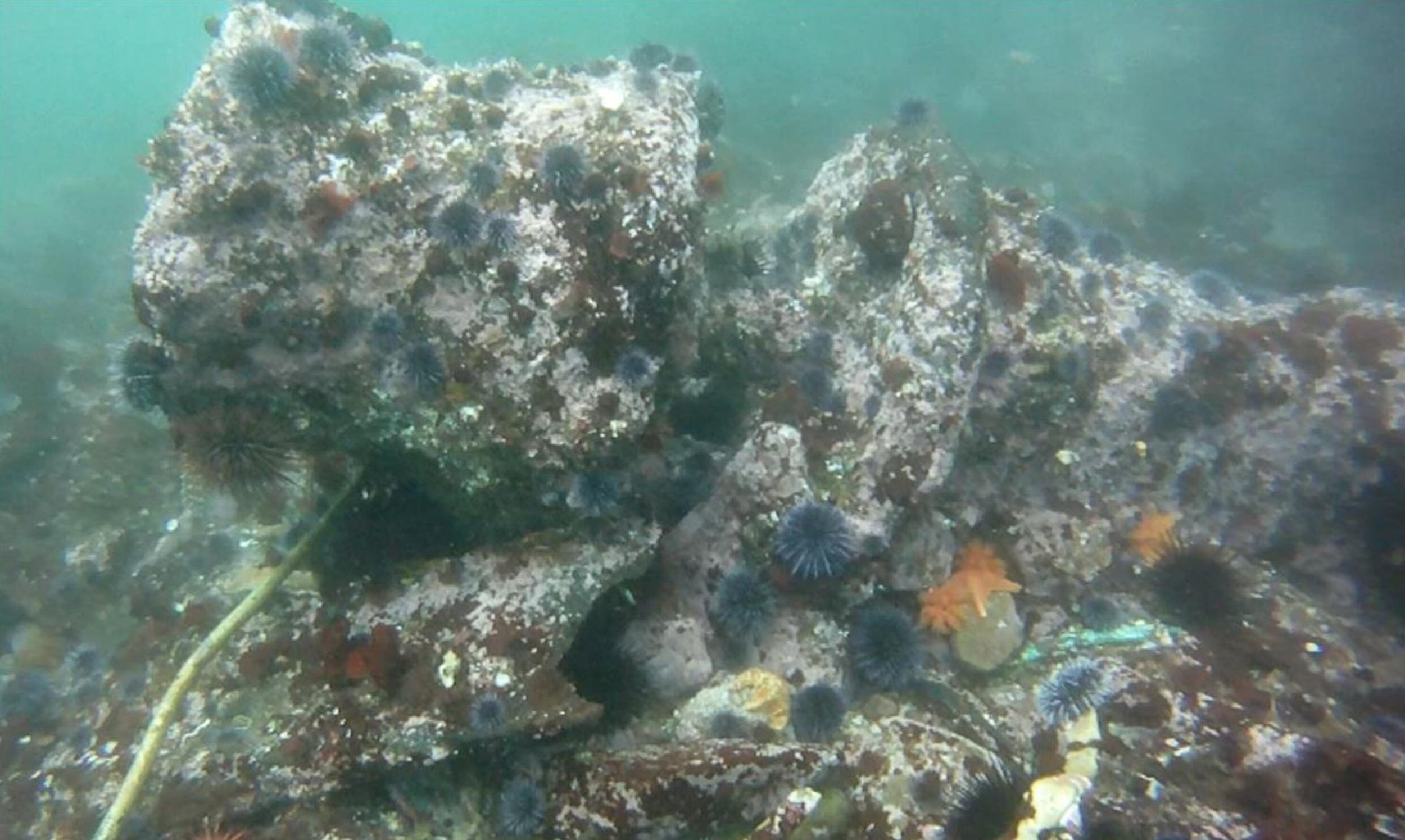
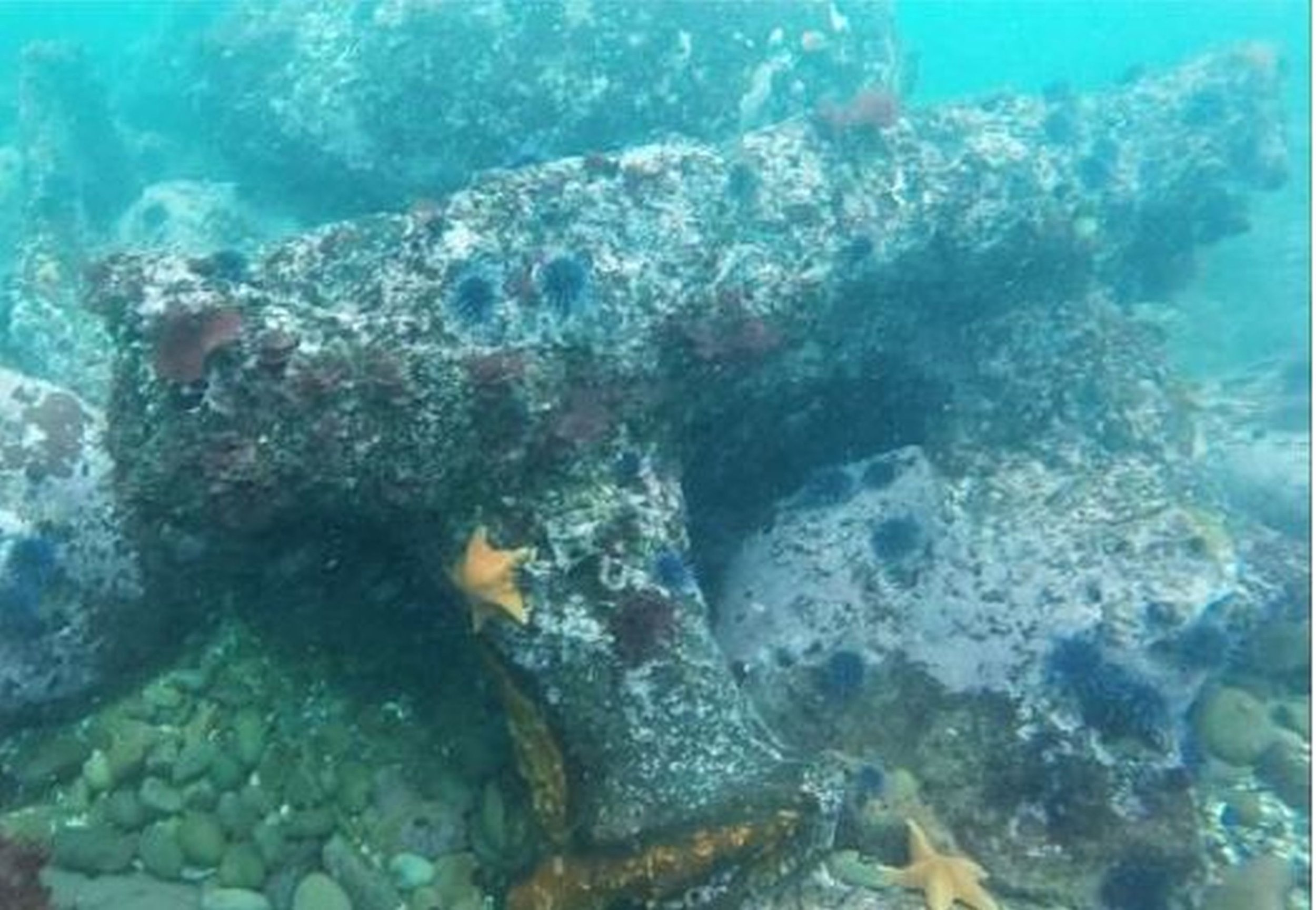
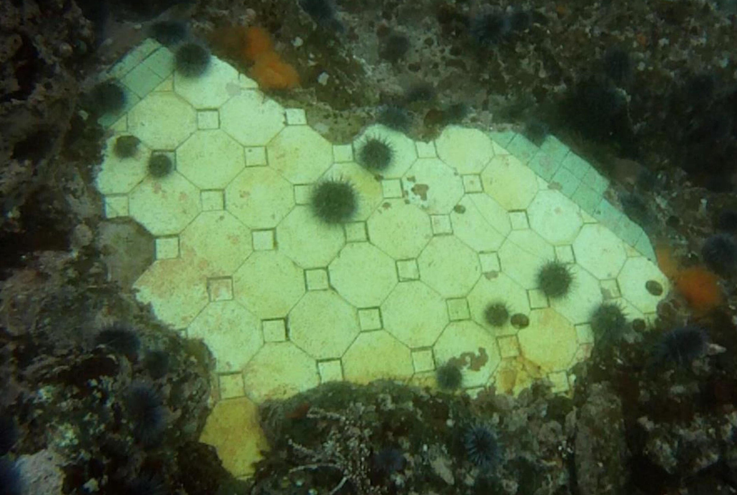
John Harreld and Jason Herum, and other SCHUNRS volunteers, have been working to record the SS Norlina for the last three years. The 385-foot long steel cargo ship with triple expansion steam engine wrecked of what is now Salt Point State Park on August 4, 1926. After being salvaged, broken in half and pulverized by the surf, possible dynamited, and subsequently stripped of portable historic artifacts by recreational divers, the submerged remains of the Norlina wreck are presently scattered throughout the southern area of Gerstle Cove. The debris field is about the size of a football field, and most of it is so covered with marine encrustation that it is difficult to distinguish from the rocky reef substrate. Adding to the challenge of mapping and documenting the wreck, the site is relatively shallow and often made dangerous by the prevailing swells. The team has visited the site over 20 times, systematically swimming transects across the debris field, capturing over 7.5 hours of digital imagery, noting diagnostic items, all with the intent of drafting a comprehensive site map. Besides the engine, boilers and drive shaft, the team has itemized at least 80 sections of hull, decking, several davits and windlasses, and other notable items.
Norlina with American neutrality markings circa 1916-1918
Image courtesy of U.S. Naval History and Heritage Command.
Norlina breaking up in Gerstle Cove, 1926.
Image courtesy of San Francisco Maritime National Historical Park


